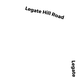
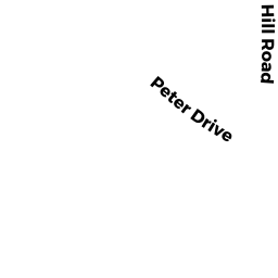
6 PETER DRIVE
Owner Information
DIGIOVANNANTONIO GUIDO, TRUSTEE
83 HAMILTON STREET
LEOMINSTER, MA 01453


Property Details
6 PETER DRIVE is classified as a Potentially Developable Industrial Land (Vacant land).
6 PETER DRIVE is valued at $203,000. The land is valued at $163,400 and the structures are valued at $0. There is an additional valuation of $39,600 on this property.
This property is in Zone LI. Confirm with local Zoning Board authorities to ensure there are no overlays or other easements on this property.
The most recent deed for 6 PETER DRIVE is recorded at the local registrar in Book 57280, Page 0363. 6 PETER DRIVE was last sold on Monday, June 19, 2017 for $1.
Assessment data from fiscal year 2022.
Flood Data
According to the FEMA National Flood Hazard Layer, this property does not appear to be in a flood zone. It may also be in an area not yet reviewed. Nonetheless, confirm this information prior to taking any action.
To view the flood hazards around this property, create a FEMA "Firmette" Map of the area around 6 PETER DRIVE.
Broadband Internet Providers
| Provider | Type | Bandwidth (mbps) | |
|---|---|---|---|
| HughesNet | Satellite | 25 | 3 |
| VSAT Systems, LLC. | Satellite | 2 | 1 |
| GCI Communication Corp. | Satellite | 0 | 0 |
| T-Mobile | Fixed Wireless | 25 | 3 |
| PAETEC Communications, Inc | DSL | 0 | 0 |
| Comcast | Cable | 1000 | 35 |
| Verizon New England Inc. | DSL | 5 | 0 |
| Viasat Inc | Satellite | 100 | 3 |
Broadband service provider data from December 2020.
Adjacent Properties
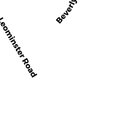
- 3 BEVERLY DRIVE
Auto Repair Facilities owned by STUART, SR GEORGE F - LEGATE HILL ROAD (OFF)
Potentially Developable Industrial Land owned by LEGATE PROPERTIES, LLC - 2 PETER DRIVE
Office Building - part of manufacturing operation owned by TAZ REALTY CORP - 4 PETER DRIVE
Office Building - part of manufacturing operation owned by DANDINI PETER D TRUSTEE - 42 LEGATE HILL ROAD
Single Family Residential owned by BRODERICK ROBERT - 11 BEVERLY DRIVE
Office Building - part of manufacturing operation owned by PINE FALL LANDSCAPES REALTY, LLC - 5-7 BEVERLY DRIVE
Auto Repair Facilities owned by LEACH SR ROBERT B & MARJORIE A TRUSTEES